Google Maps Downloader: Obtain Google Satellite Images Easily
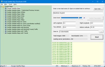
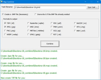
Google Maps Downloader is a handy tool that facilitates the retrieval of small tile satellite images from Google Maps. The downloaded images are stored on your disk, allowing you to view them using the Map Viewer or merge them into larger image formats like bmp, jpg, tif, and more. It is a simple and user-friendly program that is ideal for personal, non-commercial use.
Moreover, the offline maps obtained can be utilized in GIS software such as Global Mapper, QGIS, and TatukGIS. The exported sqlite database is compatible with various apps like RMaps, Locus Map, OruxMaps, and MapBox. Additionally, it can generate mbtiles for Sailing Navigation Program OpenCPN. Please note that while the trial version has limitations on zoom levels, the registered version offers access to higher precision images.


